Log in
All resources
Create a design
194 Free Artworks of 1632 Maps
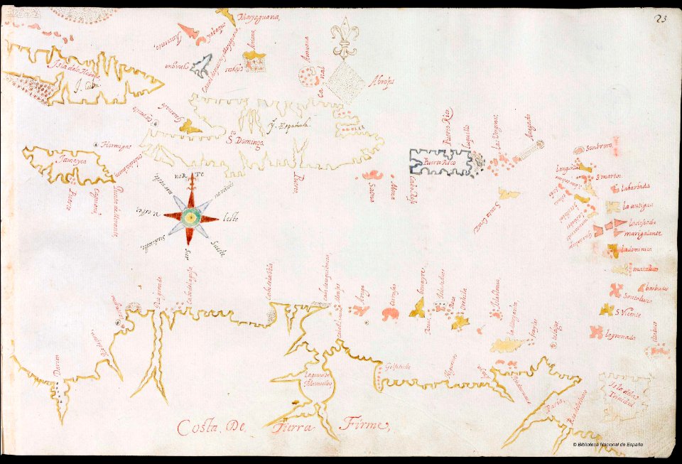
en especial del descubrimiento del reino de la california
descripciones geográphicas e hydrográphicas de muchas tierras y mares del norte y sur en las indias
pictorial maps
old manuscript maps
spanish-language maps
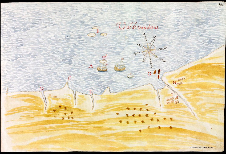
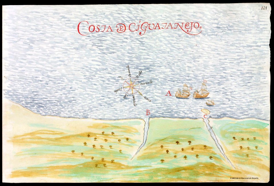
maps by nicolás de cardona
watercolor maps
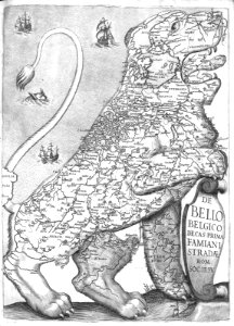
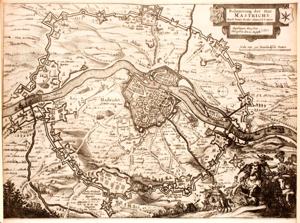
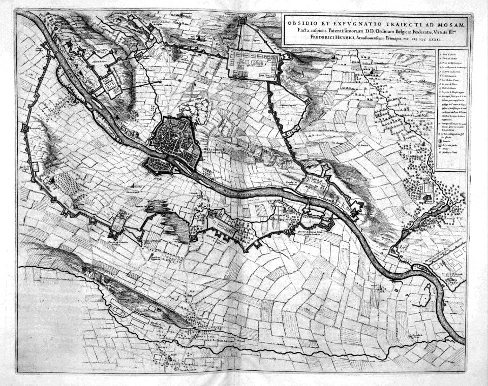
siege of maastricht (1632)
maps in the rijksmuseum amsterdam
17th-century maps of maastricht
old manuscript maps
pictorial maps
old manuscript maps
pictorial maps
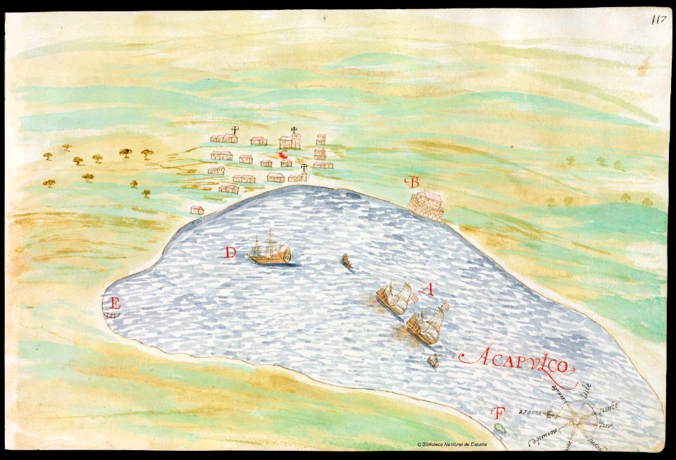
old maps of mexico
pictorial maps
old manuscript maps
pictorial maps
pictorial maps
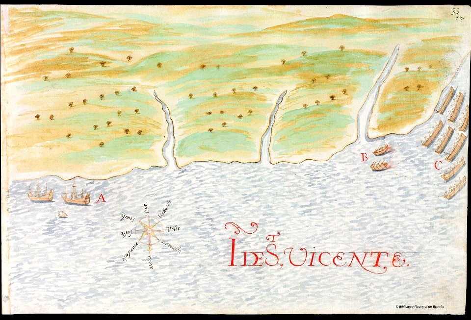
puerto rico
history of saint vincent and the grenadines
pictorial maps
17th-century maps of maastricht
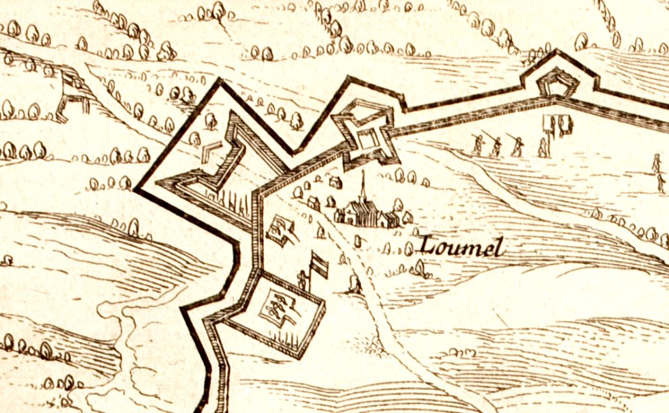
limmel (maastricht)
17th-century maps of maastricht
amby (maastricht)
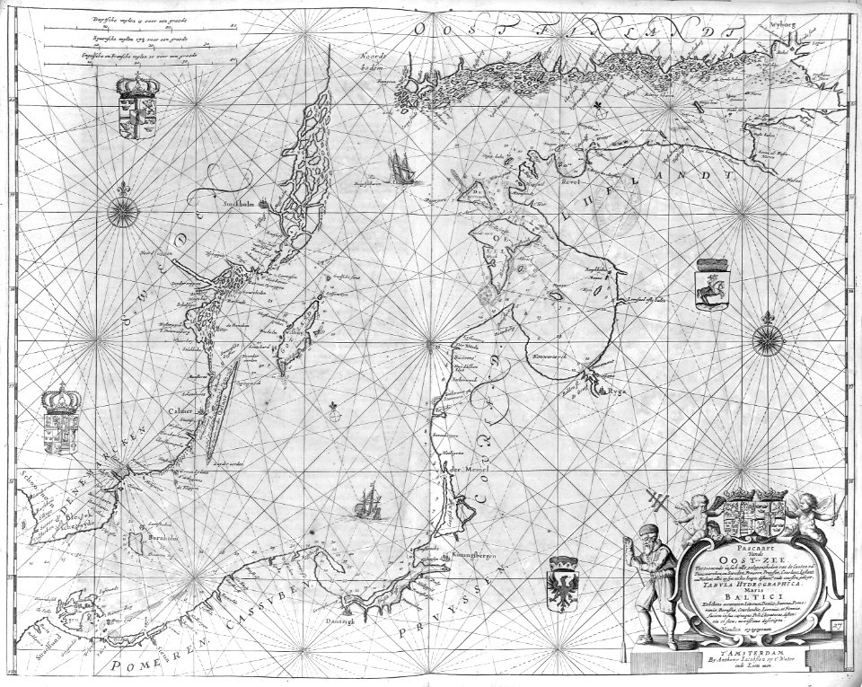
charts and maps of the royal museums greenwich
1632 maps
old maps of mexico
pictorial maps
old maps of mexico
pictorial maps
old manuscript maps
pictorial maps
old manuscript maps
pictorial maps
old manuscript maps
pictorial maps
old manuscript maps
pictorial maps
old manuscript maps
pictorial maps
old manuscript maps
pictorial maps
old manuscript maps
pictorial maps
old manuscript maps
pictorial maps
old manuscript maps
pictorial maps
old manuscript maps
pictorial maps
old manuscript maps
pictorial maps
prints from dankaerts historis at the peace palace library
17th-century maps of maastricht
maps of isla margarita
pictorial maps
old maps of mexico
pictorial maps
charts and maps of the royal museums greenwich
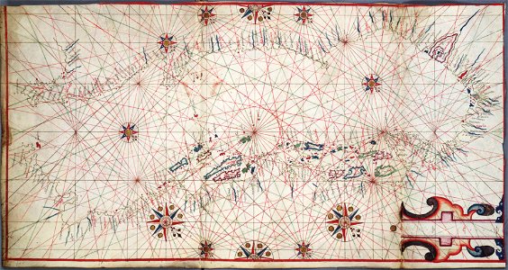
old maps of the aegean sea
17th-century maps of maastricht
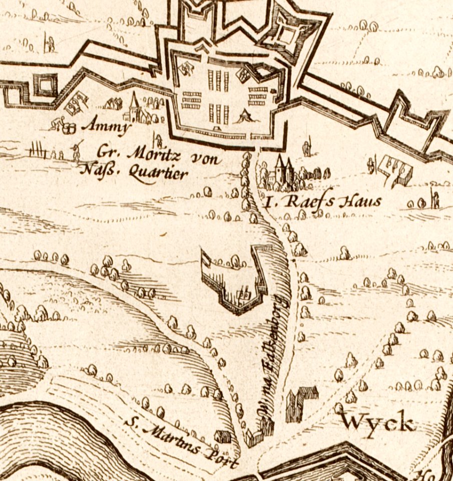
geography of maastricht
old manuscript maps
pictorial maps
old manuscript maps
pictorial maps
old manuscript maps
pictorial maps
old manuscript maps
pictorial maps
old manuscript maps
pictorial maps
old maps of mexico
pictorial maps
old maps of mexico
pictorial maps
old manuscript maps
pictorial maps
old manuscript maps
pictorial maps
old manuscript maps
pictorial maps
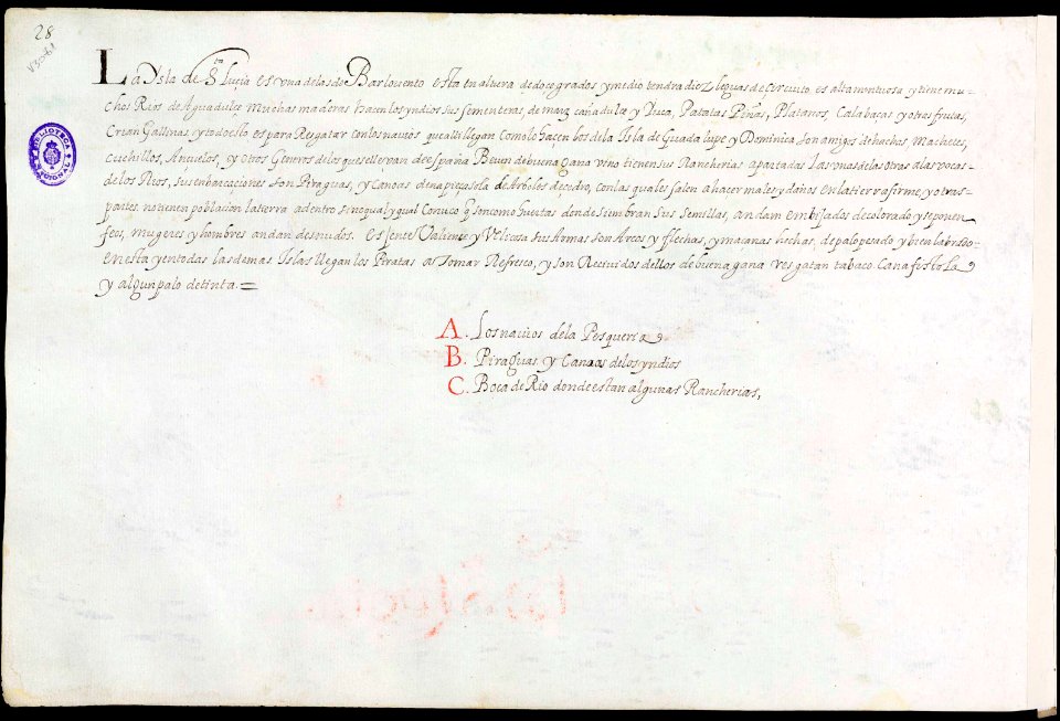
old maps of saint lucia
pictorial maps
old manuscript maps
pictorial maps
old manuscript maps
pictorial maps
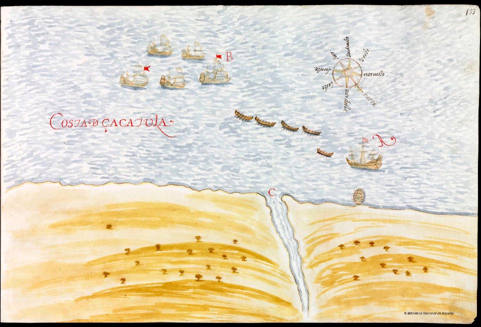
nayarit
chacala
old maps of mexico
pictorial maps
charts and maps of the royal museums greenwich
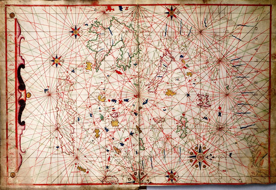
17th-century maps of the mediterranean sea
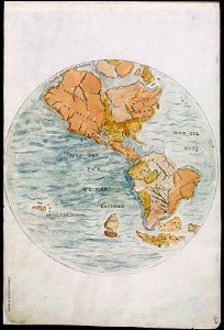
old maps of earth's hemispheres
pictorial maps
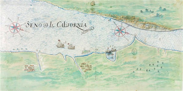
gulf of california
pictorial maps
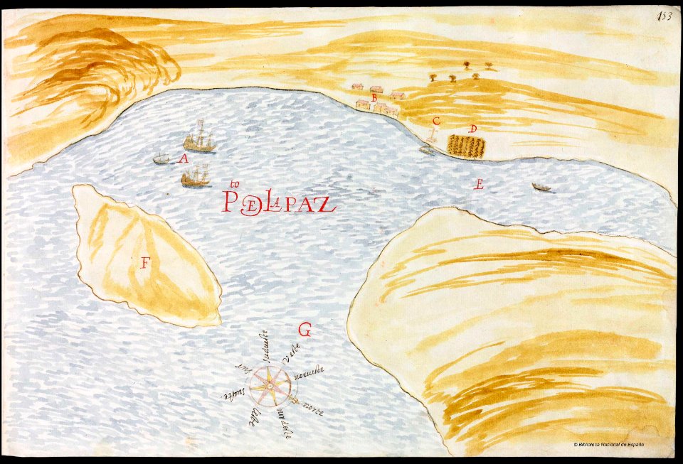
baja california sur
la paz
17th-century maps of maastricht
maastricht
pictorial maps
barbados
pictorial maps
ships of japan
old maps of mexico
pictorial maps
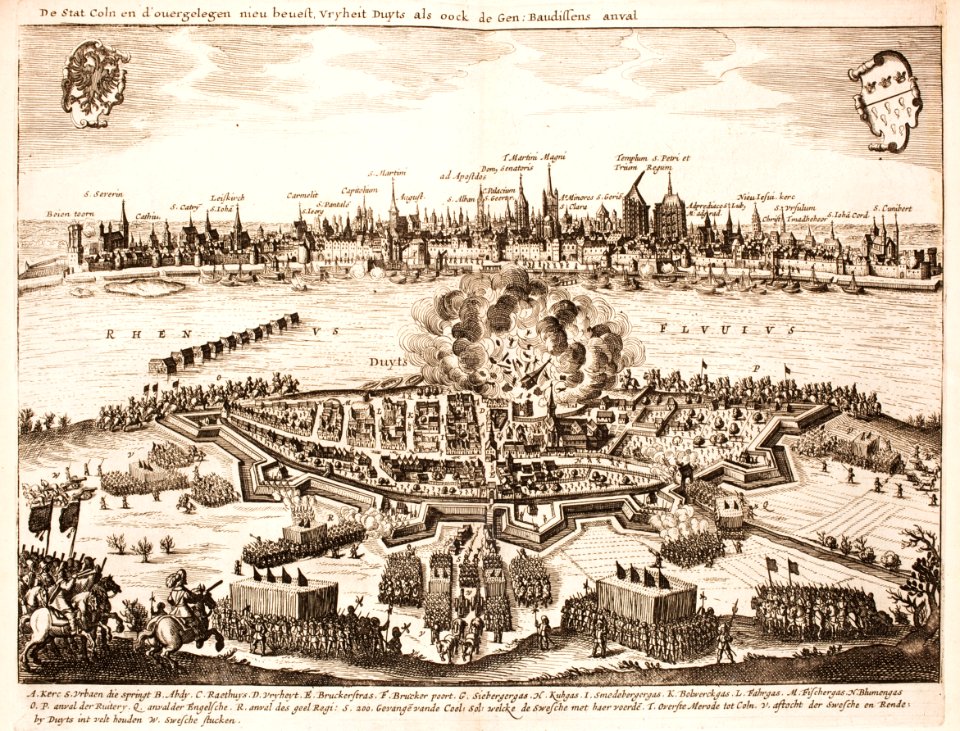
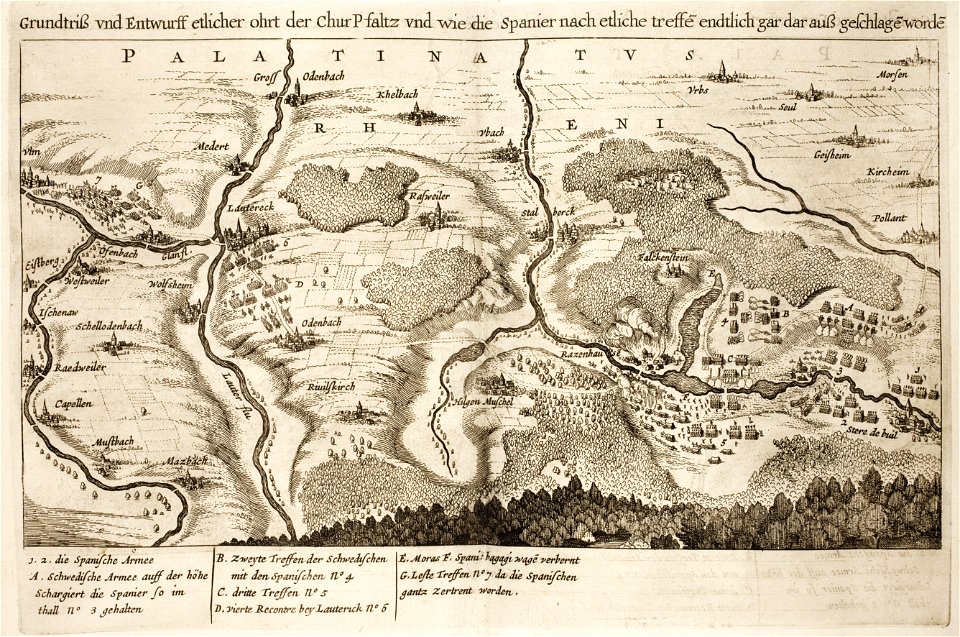
battles of the thirty years' war
cologne
17th-century maps of maastricht
pontoon bridge
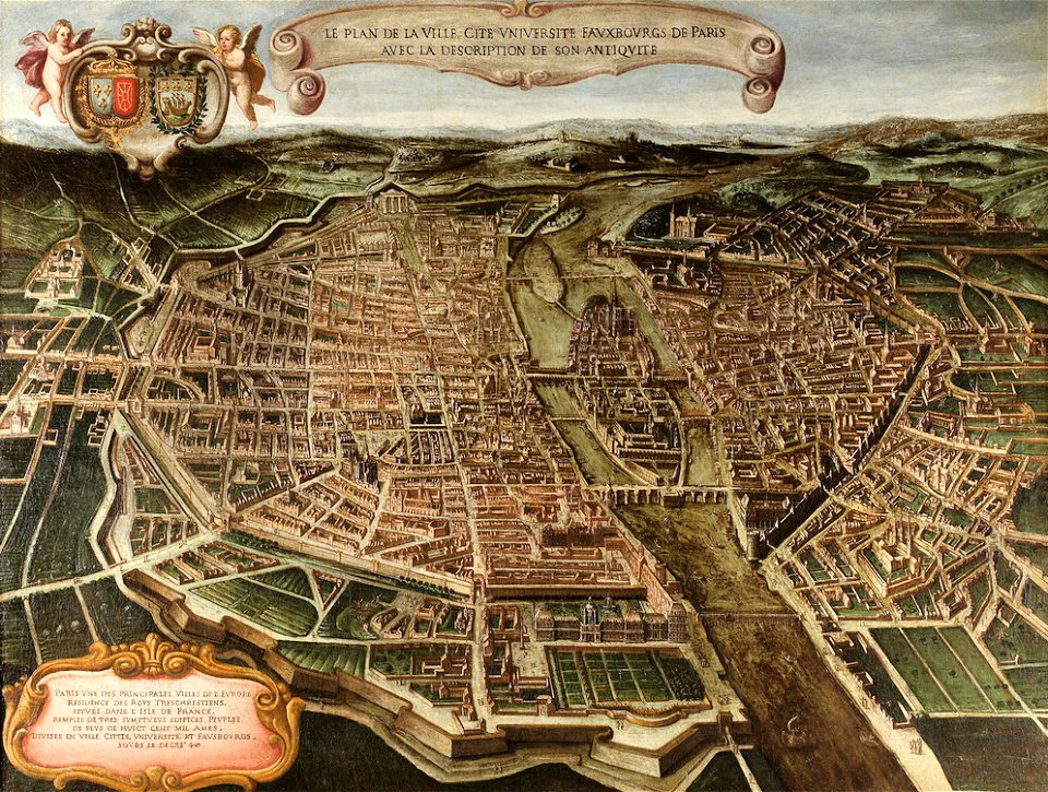
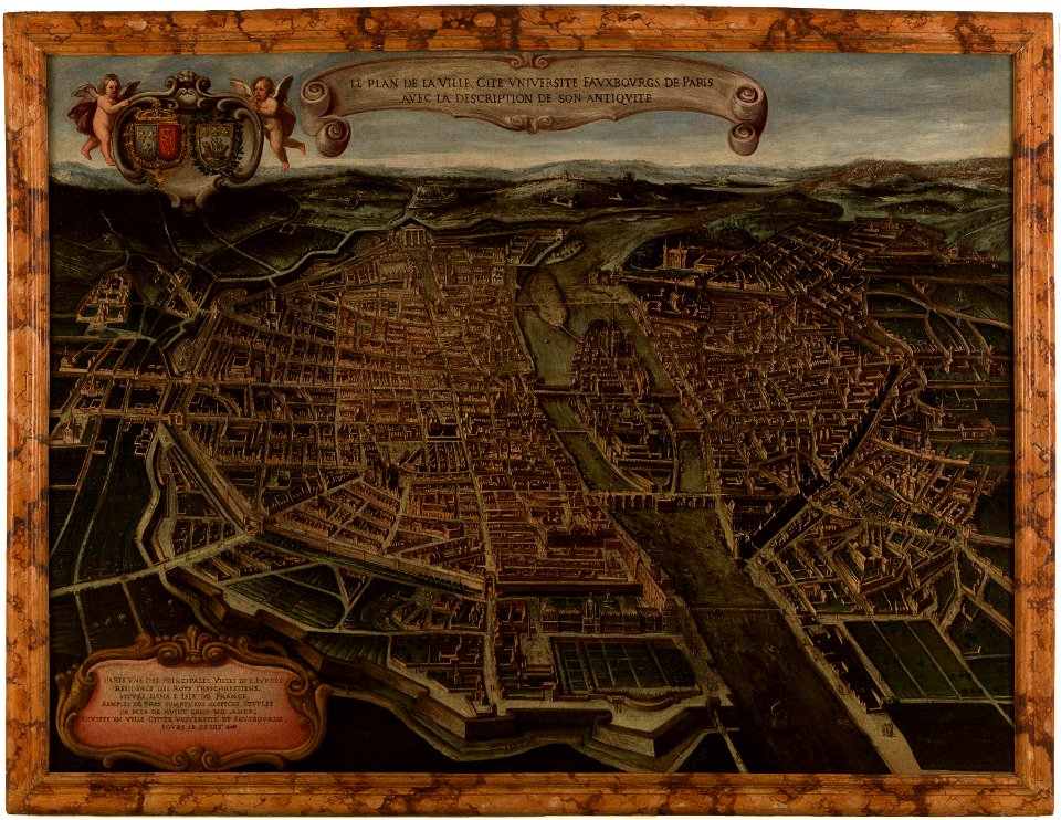
paintings in musée carnavalet
bird's eye view maps of paris
maps of paris from paris musées
paintings in musée carnavalet
maps of paris from paris musées
paintings in musée carnavalet
battle of the alte veste
1642 works in germany
prints from dankaerts historis at the peace palace library
ingolstadt
battles of the thirty years' war
burg falkenstein (pfalz)
old maps of saint lucia
history of saint lucia
17th-century maps of maastricht
siege of maastricht (1632)
17th-century maps of maastricht
siege of maastricht (1632)
maps by gerardus mercator
kempen (region)
17th-century maps of maastricht
siege of maastricht (1632)
theatre geographique du royaume de france (1632)
mercator 1587 world map
17th-century maps of maastricht
siege of maastricht (1632)
prints by claes jansz. visscher (ii) in the rijksmuseum amsterdam
siege of maastricht (1632)
maps of paris from the david rumsey historical map collection
maps of île-de-france by françois de la guillotière
17th-century maps of maastricht
siege of maastricht (1632)
theatre geographique du royaume de france (1632)
maps of perigord
dillingen an der donau
baroque
maps by hendrik hondius the younger
1632 maps of africa
theatre geographique du royaume de france (1632)
maps of provence by pierre-jean de bompar
maps by willem and johannes blaeu
maps in the rijksmuseum amsterdam
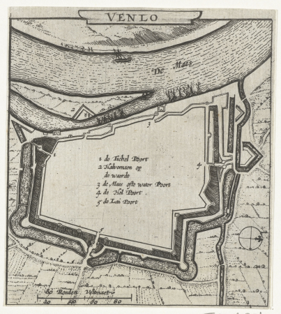
fortifications of venlo
prints by claes jansz. visscher (ii) in the rijksmuseum amsterdam
siege of maastricht (1632)
lawrence h. slaughter collection of english maps, charts, globes, books and atlases
nypl lionel pincus and princess firyal map division
maps by matthäus merian
baroque
dutch 17th-century prints in the rijksmuseum amsterdam
siege of maastricht (1632)
old maps of the tribes of israel
guillaume sanson
old maps of gâtinais and sénonais
maps by willem and johannes blaeu
maps by jodocus hondius ii
1630s maps of asia
1649 in maastricht
atlas beudeker
prints by claes jansz. visscher (ii) in the rijksmuseum amsterdam
siege of maastricht (1632)
maps from university of amsterdam special collections
atlas der neederlanden
prints by claes jansz. visscher (ii) in the rijksmuseum amsterdam
siege of maastricht (1632)
prints of cartouches in the rijksmuseum amsterdam
maps in the rijksmuseum amsterdam
prints published by claes jansz. visscher (ii) in the rijksmuseum amsterdam
maps in the rijksmuseum amsterdam
prints of cartouches in the rijksmuseum amsterdam
maps in the rijksmuseum amsterdam
history prints in the rijksmuseum amsterdam
maps in the rijksmuseum amsterdam
1630s maps of the americas
maps by jodocus hondius ii
maps by willem and johannes blaeu
1630s maps of the caucasus
cartography
maps
maps by jodocus hondius ii
1630s maps of asia
history prints in the rijksmuseum amsterdam
maps in the rijksmuseum amsterdam
prints by claes jansz. visscher (ii) in the rijksmuseum amsterdam
siege of maastricht (1632)
prints of cartouches in the rijksmuseum amsterdam
maps in the rijksmuseum amsterdam
dutch 17th-century prints in the rijksmuseum amsterdam
siege of maastricht (1632)
cartography
maps
cartography
maps
cartography
maps
1 - 100 of 194
Next page
/ 2


![Gastinois and Senonois / [Blaeu], 1632](https://cdn.creazilla.com/illustrations/10000256202/gastinois-and-senonois-blaeu-1632-md.jpg)


![Alphabetical table of the names of towns, villages, etc. which are on the map of Dutch Guelders, etc., by Mr. Sanson., [after 1696]](https://cdn.creazilla.com/illustrations/10000812947/alphabetical-table-of-the-names-of-towns-villages-etc-which-are-on-the-map-of-dutch-guelders-etc-by-mr-sanson-after-1696-md.jpg)